A few years ago, when there was no way of getting the position of an object on the terrestrial space except with leveling instruments, a geodesic network or and numerous surveys, maps were valuable data, incredibly expensive, been updated after years or decades.
When army aerial photography became an affordable commercial product, that situation changed and an army of land surveyors armed with chains and levels was not needed to be sent any more, but they would rather paint –and still painting excellent maps by a plotter in their office, tracing every visible object on the pictures.
However, flying, making pictures and manually retracing all color and height changes in every picture, and identifying every visible object are not cheap. It is difficult, some clouds, shadows, big trees or soaring slopes may not make it easy. High amounts of money have been spent in trying to automate map production from aerial aircraft or satellite pictures by automatically comparing pictures using sophisticated algorithms… It is clear the result is nothing to shout about. We are still a long way off a map to be automatically made out of a couple of stereotypical pictures.
Assuming it will be useful in the future –as some technical experts do currently rather consider the ortophoto projected on 3-D Lidar model, instead of an interpreted map –LIDAR model is built by a laser radar on an aircraft getting a tridimensional image of the terrain by making millions of field measurements through terrain probes.
Indeed, there are GPS, letting you know the position of an object through a mechanism that used to be luggage-sized with a dish antenna and it is now used in automotive navigation systems, doing sophisticated calculations on routes from street and road maps. They have been finally integrated in all cells and cameras and they can also receive maps through 3G connections from worldwide geographical servers. Amazing, right?
The navigation systems and the navigation system-integrated cells have certainly had a great success, although it also means our navigation systems informs a data provider of its position, i.e. our position, by GPS or triangulation with neighboring telephone antennas (NBL Network Based Location.) That provider can also inform third parties of that information. Well, the system the provider uses in order to know the position of mobile devices is called Location Based Services (LBS).
LBS is composed of two parts –one receiving position on each device, stored in a continuously update database and another part processing user requirements, aimed at reaching one or some devices. All the new capabilities in order to find friends or businesses providing services near you are supported by Location Services.
It is worth reading Wikipedia article on them: http://en.wikipedia.org/wiki/Location-based_service or on http://lbspro.com/?q=que-son-servicios-localizacion-LBS (in Spanish)
Location Services offer new future valuable possibilities, but they also represent serious personal privacy-related problems to be discussed.
In my opinion, their essential point is making maps dynamic, i.e. a map will not just contain static objects arising from periodical shots by remote sensors, but they inform about dynamic elements whose position is constantly changing. Indeed, understanding TomTom services is interesting http://www.tomtom.com/en_us/maps/tomtom-maps/, as well as Google’s http://google-latlong.blogspot.com.es/2011/07/live-traffic-information-for-13.html
On that basis, a high number of solutions spread out:
- Indoor Location Services are expanding now, and they begin to be implemented in guiding customer throughout shopping malls and users in big buildings.
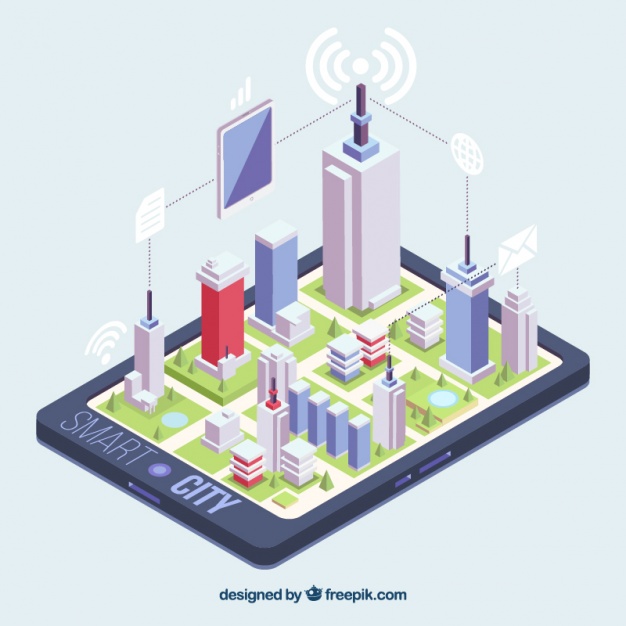
- If Location Services are not just integrated in mobile devices and they are also used on all components in the city, they will thus create dynamic maps providing real urban situations at any time, so customer’s needs and user’s expectations will be certainly satisfied by these Location Services.
- Future LBS should execute new tasks. They will not just provide you with a particular position coordinate, but they will also provide object 2D or 3D models based on a service location protocol with the elements and devices on which they are installed.
- Furthermore, LBS will be present in the public sphere, as territorial administrative competence will be submitted to any competence establishing if an object is authorized or not to be identified by LBS.
- Future LBS will be hierarchically managed, i.e. responding to the spatial structure of the territory –a hierarchy concerning urban areas, from living parts in a building to city elements, exists; all of them should be managed through intelligent systems controlled by their own location services.
On upcoming posts, we will start thinking about how to take advantage of LBS, but also how to avoid LBS!
Ignacio Arnaiz Eguren 
Director de Innovación – Arnaiz Consultores SL – [email protected]